Tropical Storm Helene forms in Caribbean, expected to become a hurricane and move toward U.S.

MIAMI — Tropical Storm Helene formed Tuesday in the Caribbean Sea and will strengthen into a major hurricane while moving north toward the U.S., forecasters said.
Hurricane watches have been issued for parts of Cuba, Mexico and a stretch of the Florida coastline, including Tampa Bay, the U.S. National Hurricane Center said. A tropical storm warning has been issued for parts of the Florida Keys.
The storm was located 170 miles southeast of the western tip of Cuba and had sustained winds of 45 mph. It was expected to strengthen into Hurricane Helene on Wednesday as it approached the Gulf Coast.
Florida Gov. Ron DeSantis declared a state of emergency Monday in dozens of counties ahead of its arrival.
Heavy rains and big waves already lashed the Cayman Islands on Tuesday.
“Now is the time to start preparing. If you’re in an evacuation zone, you should evacuate,” said Lisa Bucci, a hurricane specialist at the center. “Don’t be fooled by the way the storm looks at the moment. We are expecting it to rapidly intensify.”
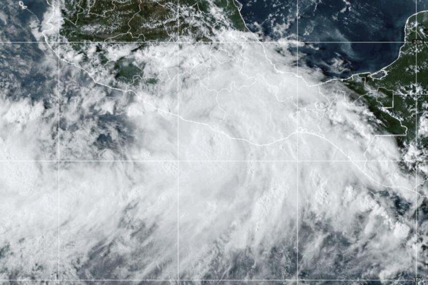
Tropical Storm John came ashore near the town of Punta Maldonado late Monday night as a Category 3 hurricane.
She said people in regions under watches and warnings should be prepared to lose power and should have enough food and water for at least three days.
The disturbance is expected to move “over extremely deep and warm waters” that would fuel its intensification.
“Conditions look quite favorable for strengthening over the eastern Gulf of Mexico on Wednesday and Thursday,” the center said. “This system will become quite large and powerful before landfall.”
Helene could strengthen into a Category 3 hurricane before approaching the northeast Gulf Coast. Since 2000, eight major hurricanes have made landfall in Florida, according to Philip Klotzbach, a Colorado State University hurricane researcher.
Given the anticipated large size, storm surge, wind and rain will extend far from the center of the expected storm, especially on the east side. The center warned of “inland penetration of strong winds over parts of the southeastern United States after landfall.”
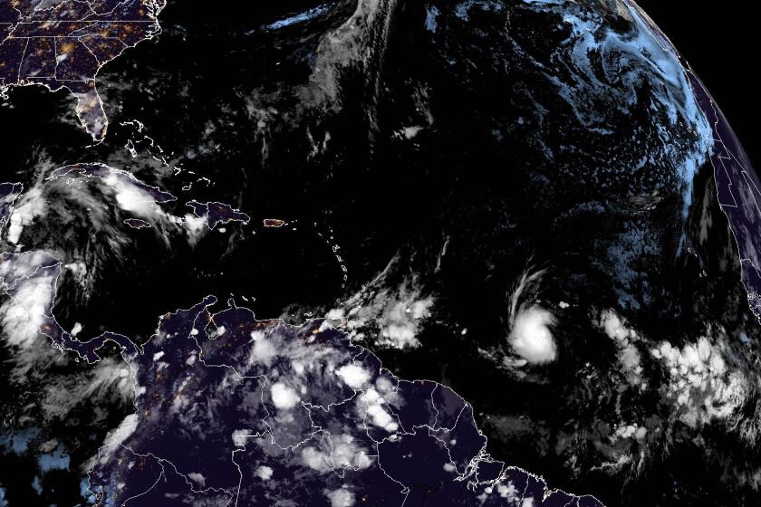
Beryl has strengthened into a hurricane in the Atlantic and is forecast to become a major storm as it approaches the Caribbean.
Bucci said states including Tennessee, Kentucky and Indiana could see rainfall associated with the storm.
A tropical storm warning was in effect for Florida’s Dry Tortugas; the lower Florida Keys west of the Seven Mile Bridge; Grand Cayman; Rio Lagartos to Tulum, Mexico; and the Cuban provinces of Artemisa, Pinar del Rio, and the Isle of Youth.
Meanwhile, a storm surge watch was in effect for Florida’s Tampa Bay, Charlotte Harbor and from Indian Pass south to Flamingo. A tropical storm watch was issued for the middle Florida Keys from the Seven Mile Bridge to the Channel 5 Bridge; Flamingo to south of Englewood; and from west of Indian Pass to the Walton Bay County line.
The National Weather Service in Tallahassee, Fla., urged people to take potential evacuations seriously.
“10-15ft of surge is NOT survivable,” it wrote on the social media platform X.
On Monday, DeSantis declared a state of emergency in 41 counties.
Officials in the Cayman Islands shuttered schools and airports as forecasters warned of heavy wind and rain and waves of up to 10 feet.
The last time the Atlantic failed to produce any named storms between Aug. 13 and Sept. 3 was in 1968 — more than 50 years ago.
“The current conditions present significant risk, and we must prioritize our safety,” said Ian Yearwood with the Royal Cayman Islands Police Service.
Meanwhile, many in Cuba worried about the disturbance, whose tentacles are expected to reach the capital of Havana, which is struggling with a severe shortage of water and piles of uncollected garbage.
Overall, roughly 600,000 people in Cuba are experiencing water shortages, including more than 130,000 in Havana alone. Chronic power outages also persist.
The disturbance is expected to slip through waters separating Cuba from Mexico’s Yucatán Peninsula late Tuesday and then head north to the Gulf Coast.
Up to 8 inches of rain is forecast for western Cuba and the Cayman Islands with isolated total of some 12 inches. Up to 6 inches of rain is expected for the eastern Yucatán Peninsula, with isolated total of more than 8 inches.
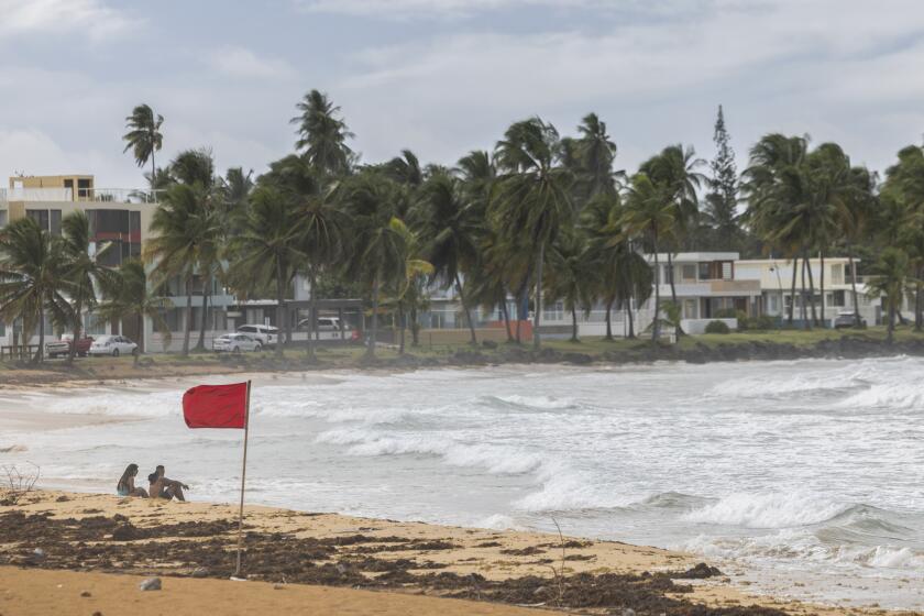
Hurricane Ernesto has left hundreds of thousands of people without power in Puerto Rico after strengthening from a tropical storm.
Heavy rainfall also is forecast for the southeastern U.S. starting on Wednesday, threatening flash and river flooding, according to the National Hurricane Center. Up to 8 inches of rain was forecast for the region, with isolated totals of 12 inches.
A storm surge of up to 15 feet was forecast from Ochlockonee River, Fla., to Chassahowitzka, and up to 10 feet from Chassahowitzka to Anclote River and from Indian Pass to Ochlockonee River.
Helene would be the eighth named storm of the Atlantic hurricane season that runs from June 1 to Nov. 30.
The National Oceanic and Atmospheric Administration has predicted an above-average Atlantic hurricane season this year because of record-warm ocean temperatures. It forecast 17 to 25 named storms, with four to seven major hurricanes of Category 3 or higher.
Coto reported from San Juan, Puerto Rico. Associated Press reporter Andrea Rodríguez in Havana contributed to this report.


