Weather shift gives firefighters an edge in battling three large Southern California wildfires

Falling temperatures and rising humidity will give firefighters a brief window to gain more ground against three major Southern California wildfires, officials said Sunday.
“It’s helping out tremendously,” said Capt. Steve Concialdi, acting as public information officer on the Airport fire in Orange and Riverside counties, where overnight humidity levels topped 90% in some areas Saturday.
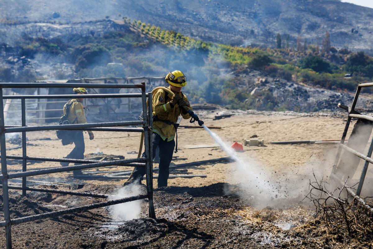
“It is helping us increase our containment lines and firefighters are able to work longer in these cooler temperatures,” Concialdi said. “We’re not getting heat-related illnesses.”
But there is a mixed blessing in the weather shift.
“We are expecting some fairly strong winds through [Monday] night and also at higher elevations, which could present some issues,” said Bryan Lewis, a meteorologist with the National Weather Service in Oxnard.
Even as a moist blanket of air in the marine layer thickens, rising to 4,500 feet by Sunday, conditions above that remain parched. Upper peaks could see wind gusts of up to 45 mph, Lewis said, spelling fresher air for valley residents but posing a challenge to fire crews. Lewis said the marine layer, with its cool, moist air, could deepen to 6,000 feet by Monday.
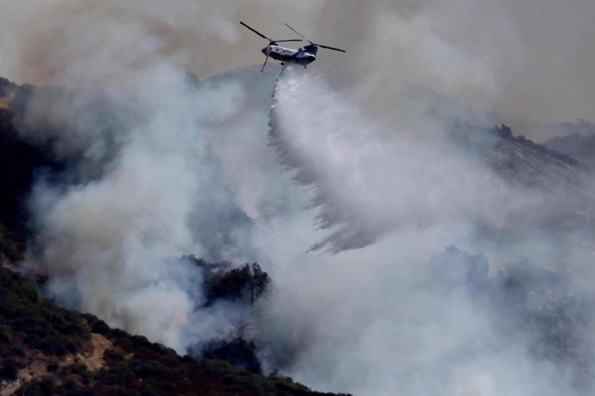
In San Bernardino County, the Line fire moved at a crawl over the weekend, but the Department of Forestry and Fire Protection said humidity and the chance of light rain late Sunday should give firefighters a chance to douse hot spots and solidify control lines that surround a third of the 36,000-acre blaze. The fire was 36% contained as of Sunday afternoon.

The nearby Bridge fire sprawling nearly 55,000 acres in the San Gabriel Mountains of San Bernardino and Los Angeles counties continued to press north and west, but the agency said firefighters are holding lines to the south and east, though the Mount Baldy area remains under evacuation orders. The fire is only 9% contained.
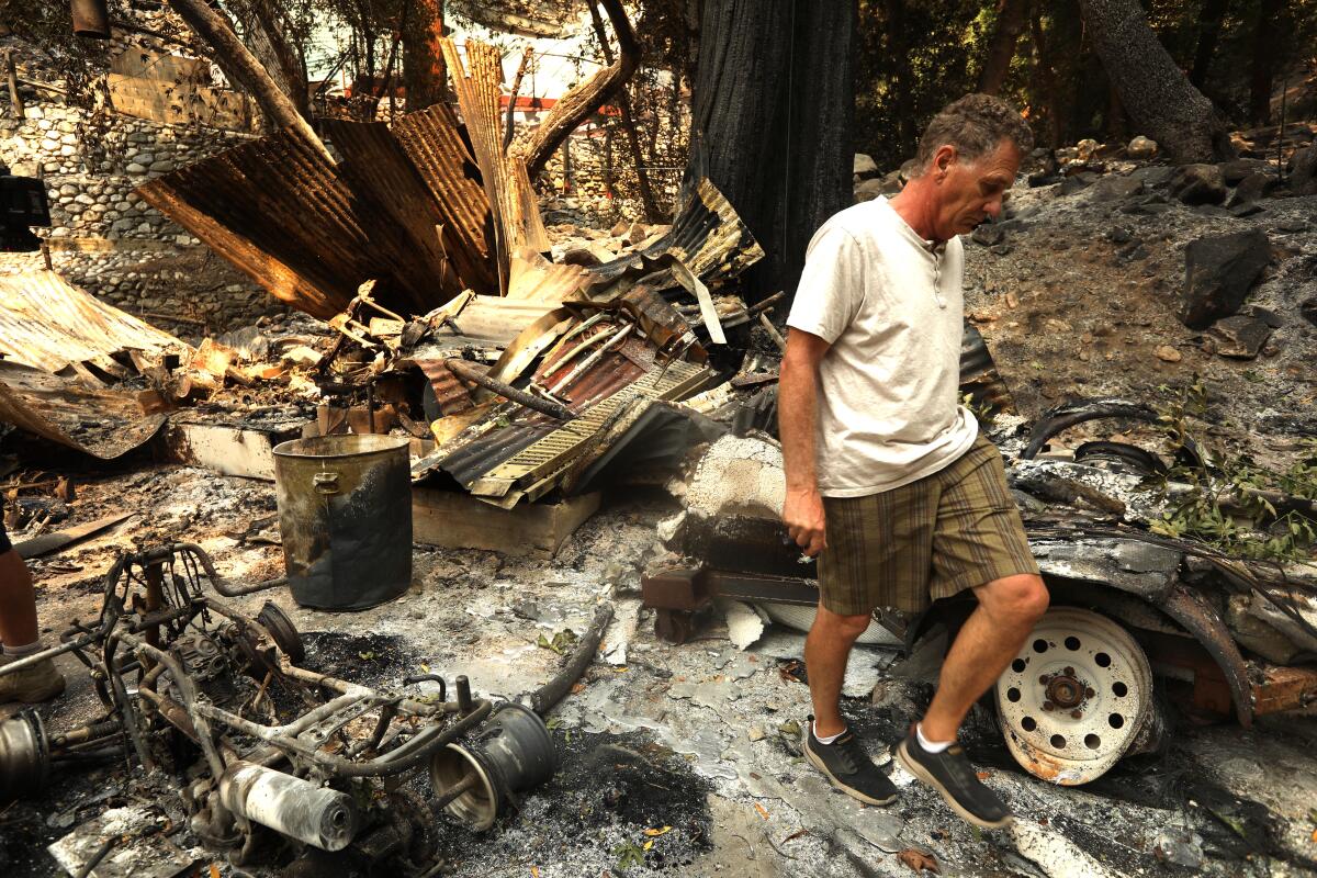
In the Santa Ana Mountains, the Airport fire made no new advances Saturday night, holding under 24,000 acres and giving ground crews a chance to reach hard-to-access areas around Trabuco Canyon and establish fire lines. To date, 115 residences and three businesses have been destroyed, with injuries reported to 12 firefighters and two civilians. The fire is 19% contained.
Firefighting plans called for hot shot crews to be flown in and dropped off in these remote areas, to establish camps from which they will work for several days dousing anything smoldering. “If the wind shifts or the Santa Ana [wind] kicks up, we want to make sure all of those hot spots are extinguished,” Concialdi said.
With other ground gains, Riverside County on Saturday downgraded evacuation orders in some areas to warning status.
Dry conditions still dominate at upper elevations. State officials said the Line fire near Big Bear Lake continued to be active on higher ground. In the Airport fire, Modjeska Peak remained dry, and state officials warned that smoldering vegetation above 4,000 feet still had the potential to flare and roll downhill to ignite unburned vegetation.
The high pressure system that locked Southern California in a heat dome last week has been displaced by the passage of a weak and dying cold front. Local weather forecasts called for temperatures slightly below normal, thick night fog and high humidity, and chances for light rain leading into Monday. Light rain returns to the forecast for Wednesday before National Weather Service forecasts call for temperatures to rise again to slightly above normal.
Air quality advisories remained in effect for all four counties, with smoke choking the air with fine-particulate matter. The South Coast Air Quality Management District advised residents to limit outdoor activity.


