Raging Dixie fire burns homes, businesses in Greenville amid ‘critical’ conditions

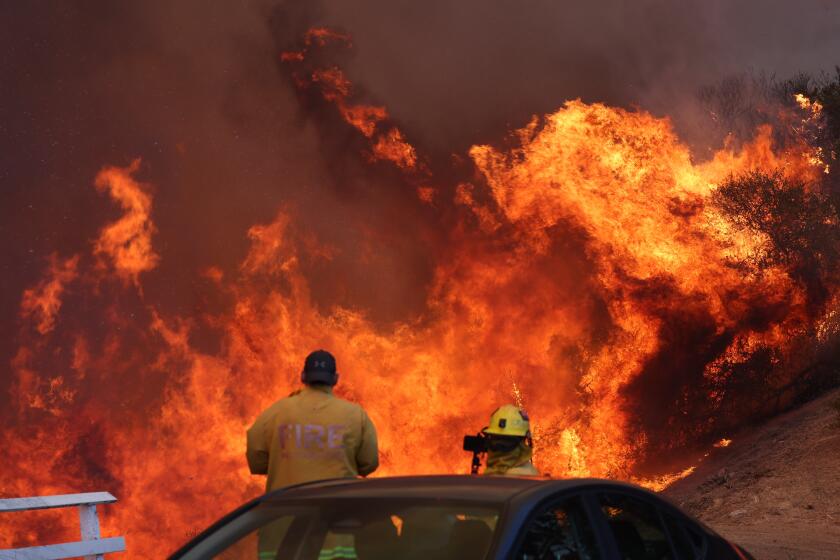
The massive Dixie fire, which has been burning in Northern California for three weeks, burned into the small town of Greenville Wednesday evening, fueled by intense winds.
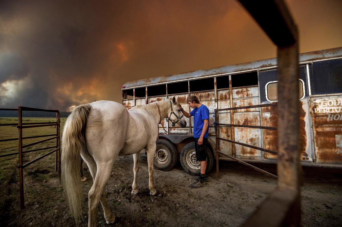
The fire tore through Greenville, destroying businesses and homes as the sky was cast in an orange glow. A photographer on assignment for the Associated Press described seeing a gas station, hotel and bar burned to the ground.
Social media posts show significant destruction in Greenville’s downtown area, with rows of buildings burning. Throughout the day, people fled as the fire approached.
“It’s just been devastating,” one Greenville resident told ABC10 News, fighting back tears, earlier in the day. “It’s the emotional strain. It’s gotten to everybody.
Rep. Doug LaMalfa shared photos of buildings burning on Main Street that his staff took. “These pictures crush my heart,” he said.
Greenville, with a population of 1,000, is located in a remote mountain area in Pulmas County. Much of the town burned during a fire in 1881, according to a local history, but quickly rebuilt.
The fire burning in Butte and Plumas counties had exploded to 322,502 acres by Thursday morning,
, making it the sixth-largest wildfire in California’s recorded history, according to the California Department of Forestry and Fire Protection. For the second day in a row, the remains 35% contained.
At least 67 structures have been destroyed, with more than 12,000 under threat, according to the latest incident report.
The Dixie fire broke out three weeks ago near a power station in Feather River Canyon. Pacific Gas & Electric Co. said in a report that its equipment might have sparked the blaze.
The Dixie fire is now the 11th largest wildfire in California’s recorded history, searing more than 240,000 acres.
A red flag warning went into effect at 1 p.m. Wednesday for the fire area and much of the region, when a cold, dry front was expected to pass through, according to Ryan Walbrun, incident meteorologist for the Dixie fire. The warning will last through 8 p.m. Thursday.
“It’s going to set up a critical fire weather pattern,” Walbrun said during an incident update.
Wind gusts are expected to hit 30 to 40 mph, “pushing up on the fire itself,” Walbrun said. Those winds will meet single-digit humidity levels, considered critically dry for the area, and temperatures in the 80s and 90s.
Citing a description by a fire behavior analyst, Dixie fire incident spokesperson Capt. Mitch Matlow said the fire danger on Wednesday was at a maximum.
The fire surged overnight amid unusually low humidity.
A pocket of unburned fuels along the northern end of the fire ignited Monday, said Mike Wink, operations section chief for Cal Fire’s Incident Management Team 1, also focused on the west zone.
A cocktail of smoke and wind pushed the blaze beyond containment lines, and firefighters have been working to beat it back since then, he said.
Despite efforts to cut down vegetation and dump roughly 230,000 gallons of fire retardant along Humboldt Road, “it got outside of all those things, it got up in these hills, and we’ve been going after it,” Wink said.
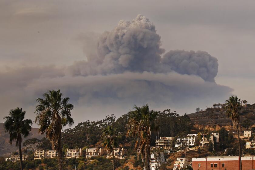
Two spot fires merged Tuesday, sending a 30,000-foot pyrocumulus cloud into the air.
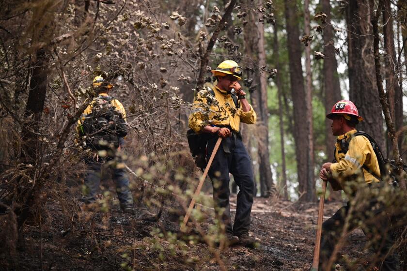
There was also increased fire activity between Prattville and Lake Almanor West, and firefighters are actively protecting structures in those communities, as well as Chester and a peninsula in Lake Almanor, Matlow said.
Like other destructive wildfires this season, the Mountain View fire was plume-dominated. What’s the science behind such clouds?
Officials at the recent incident update struck a somber tone.
“I just want to recognize that for some people, we’re seeing some light at the end of the tunnel, and others are seeing maybe not so much light there,” said Chris Carlton, supervisor for the Plumas National Forest.
Because there are many evacuation orders that are subject to change, Matlow advised residents to monitor social media and their county’s website for the latest information.
Nearby, the lightning-sparked McFarland fire is burning aggressively through Shasta and Trinity counties, to the west of the Dixie fire.
As of Wednesday, it had burned through more than 20,000 acres and was 5% contained, according to an incident report updated Wednesday
Drought-stricken fuels are similarly feeding the blaze, which “has the potential to continue dangerous rates of spread,” the incident report said.
Conditions plaguing the Dixie fire and other wildfires in the state are part of a broader regional trend.
Much of the western U.S. has seen extreme heat and drought due to the worsening climate crisis, which dries vegetation that serves as receptive tinder.
So far this year, 96 large fires have burned 1,883,541 acres in 14 states, according to the National Interagency Fire Center.


